This post belongs to Atlantis Is Everywhere, a series exploring why the story of Atlantis has been repeatedly mapped onto real places around the world. Rather than arguing for or against any location, the series documents how each claim emerged, what evidence is cited, how it is interpreted, and where the research stands today.
Why start here?
There is a reason the Atlantic shows up early whenever Atlantis enters the conversation. Long before it became an ocean people crossed with confidence, it was a boundary people stared at. It marked the edge of what could be verified, where maps thinned out and expectation took over.
If you live on a western coastline and keep hearing stories about lands beyond the horizon, at some point you start wondering whether the horizon itself is doing some of the hiding. That instinct predates Plato. It shows up in Greek writing, medieval cartography, and sailor lore alike. The Atlantic was never imagined as empty. It was imagined as unstable.
The islands scattered across it sit directly inside that imagination. They rise abruptly from deep water, detached from continental continuity. They do not feel like the edges of something familiar. They feel like interruptions. Even if you are not actively looking for Atlantis, it is easy to see why someone eventually would.
The Azores are where that impulse becomes clearest.
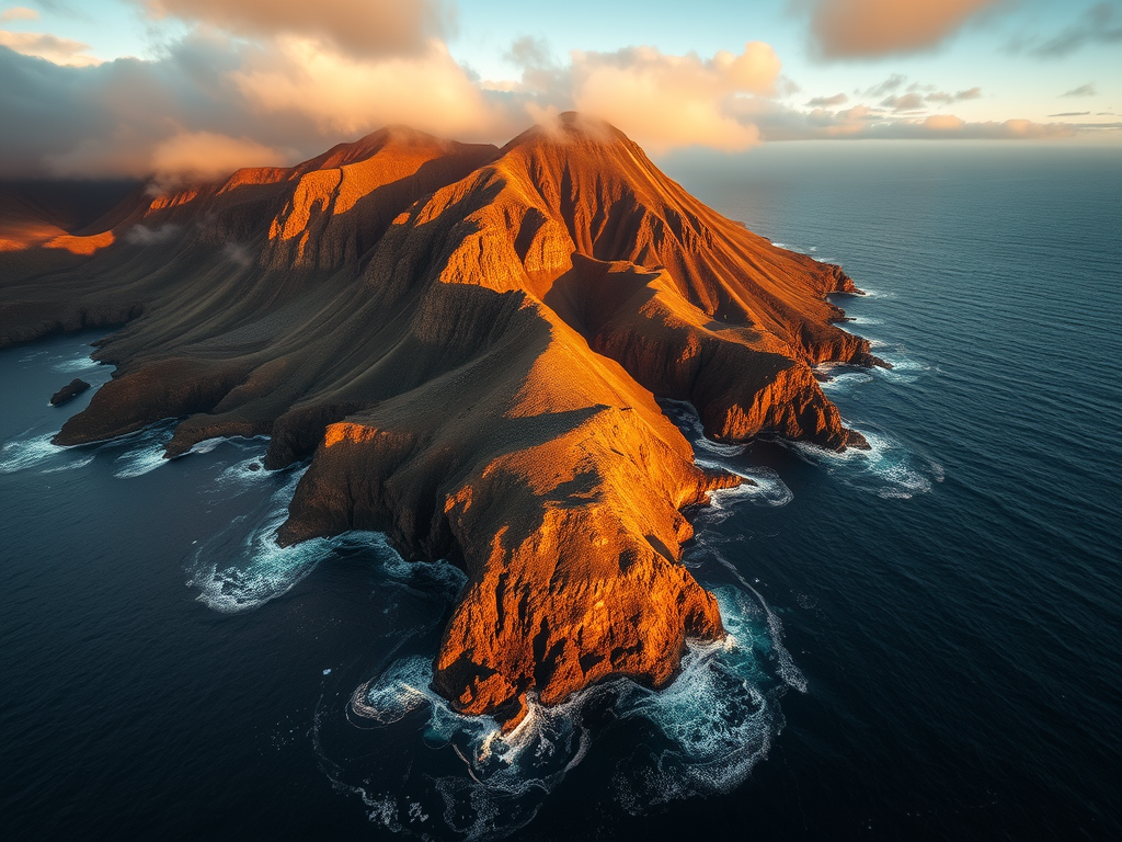
The Azores lie roughly 1,500 kilometers west of Portugal, far enough to feel removed from Europe and close enough to remain psychologically connected to it. Approaching from the east, ships encountered open ocean, then land, with very little warning in between. There are no long continental shelves easing the transition. One moment there is nothing. The next, there are volcanic peaks breaking the surface.
That suddenness matters. It shapes how a place is read before any theory enters the picture.
Once early bathymetric data became available, the appeal deepened. The islands sit atop an elevated region of seafloor often referred to as the Azores Plateau, surrounded by deep Atlantic water. In the early stages of seabed mapping, a feature like that could be read in more than one way. It could be volcanic construction building upward. It could also be interpreted as what remains after something larger dropped away.
If you already believe Atlantis was a landmass lost to catastrophe, the Azores cooperate nicely. They are in the right ocean. They are beyond the old Mediterranean world. They also look like peaks, and peaks are the easiest way to imagine a vanished landscape.
At this stage, geography is doing most of the work.
One of the earliest and most influential visualizations of this idea appears in the seventeenth century. Athanasius Kircher’s Mundus Subterraneus included a map depicting Atlantis as a vast Atlantic landmass, with the Azores shown as surviving high ground.
Kircher was not doing modern science, but he was not indulging in fantasy either. He worked within a framework that accepted catastrophe as a driver of Earth’s changing surface. He also worked with limited tools. In that context, a submerged landmass was a reasonable way to reconcile ancient texts, theology, and a planet that clearly does not sit still.
Kircher’s map accomplished something subtle but lasting. It gave Atlantis a shape. Once a story has a shape, it becomes much easier to compare that shape to other things. Islands stop being abstract points on a chart and start looking like fragments.
That visual logic would prove remarkably durable.
Enter the 19th Century
By the nineteenth century, the Azores had become central to a more systematic style of Atlantis thinking. Ignatius Donnelly’s Atlantis: The Antediluvian World argued that Atlantis was a real prehistoric civilization whose influence spread outward to shape later cultures. Within that framework, the Atlantic islands became anchor points. They were the visible pieces that made an invisible structure feel real.
What often gets lost in modern summaries is context. Donnelly was writing before plate tectonics, before high-resolution bathymetry, and before the age of the ocean floor was understood. Even the basic structure of the seafloor was largely unknown. Within that informational landscape, the idea of a sunken landmass was not already ruled out.
When evidence is sparse, coherence can carry an idea a long way.
But really, why here?
Across centuries of speculation, the Azores-based Atlantis hypothesis tends to rely on a familiar set of observations.
Bathymetry comes first. The Azores Plateau is treated as the footprint of a larger land. Flat-topped seamounts are framed as eroded surfaces. Submarine terraces are interpreted as ancient shorelines. Abrupt changes in depth are read as collapse rather than construction. These readings lean heavily on intuition, especially the intuition that elevated seafloor “ought” to have been land at some point.
Volcanism and seismicity add another layer. If Atlantis vanished through earthquakes and flooding, a tectonically active region feels like the right setting. Catastrophe already appears to be baked into the landscape.
Occasionally, reports of rectilinear features on the seabed circulate as well. Most lack controlled archaeological documentation, but deep ocean exploration is slow and expensive. The absence of follow-up often becomes part of the appeal.
None of these ideas are incoherent as starting points. The question is what survives once the region is examined with modern tools.
What geology actually shows
The Azores sit on and near the Mid-Atlantic Ridge system, in a tectonically complex region where plate boundaries interact. That location matters because it explains how the islands formed. They are volcanic constructions built upward over time. They are not fragments of continental crust.
This is a hard constraint. A drowned continent should leave recognizable signatures: thick sedimentary layers, drainage patterns, large-scale erosion surfaces, and other features shaped by long exposure to air and water. What detailed mapping reveals around the Azores is a volcanic and tectonic terrain, irregular but consistent with oceanic crust and ridge processes.
Sea-level change also imposes limits. During the Last Glacial Maximum, global sea levels were more than 120 meters lower than today. That expansion matters for coastal shelves and low-lying plains. It does not turn mid-ocean volcanic peaks into a continent. Even under maximum glacial conditions, the Azores remain isolated islands separated by deep water.
Volcanism has reshaped individual islands, sometimes dramatically, but it does not support the disappearance of a continental-scale land within a human timeframe.
Why the idea persisted anyway
The longevity of the Azores–Atlantis hypothesis is not especially mysterious.
The islands look the part. They are steep, volcanic, and remote. They rise from deep water in a way that almost invites the “summit” metaphor.
They sit in a tectonically active zone, which keeps catastrophe in the conversation even when the mechanism does not fit the narrative.
And for a long time, the seafloor around them was effectively unreachable. When a place cannot be checked directly, imagination tends to treat that gap as permission rather than limitation.
The Azores illustrate something that will come up repeatedly in this series. Many Atlantis claims begin not with artifacts or ruins, but with landscapes that feel suggestive and data gaps that allow suggestion to linger.
Once modern geology fills those gaps, the drowned-continent reading recedes. The islands remain dramatic. The story changes.
Up next…
The Azores represent the Atlantic version of Atlantis thinking in its purest form. A striking mid-ocean landscape becomes a candidate first through plausibility, then through diagrams, then through theories that accumulate around it.
The Canary Islands shift the emphasis. Geology still matters, but culture, memory, and isolation take on a larger role. The map stays in the Atlantic. The argument changes shape.
Leave a Reply